Neco Model Questions Vol1 2024 Geography Question 21
Practice objective / multiple choice question 21 from the 2024 Neco Model Questions Vol1 Geography examination.
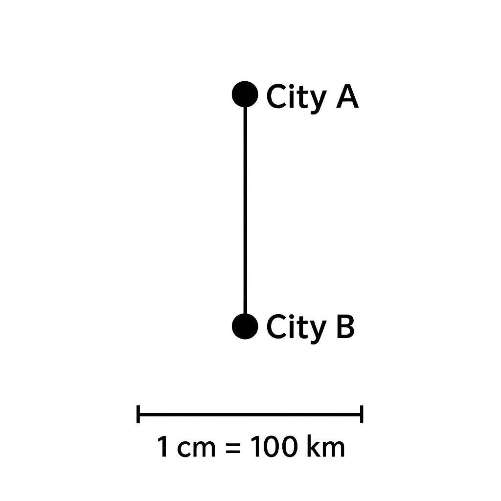
A schematic map shows City A at the top and City B directly south of it. The distance between the two cities on the map measures \(3\) cm. The map scale is \(1\text{ cm}=100\text{ km}\) (north‑south). Assuming \(1^{\circ}\) of latitude corresponds to \(111\text{ km}\), calculate the difference in latitude between City A and City B in degrees, rounded to one decimal place.
Answer Options
About This Question
This is Neco Model Questions Vol1 2024 Geography Question 21. It is one of the objective questions from the 2024 Neco Model Questions Vol1 Geography examination.
Difficulty level: Easy .
Master the Exam!
You've seen a preview, but there are thousands more questions plus AI tutor to break down complex solutions.